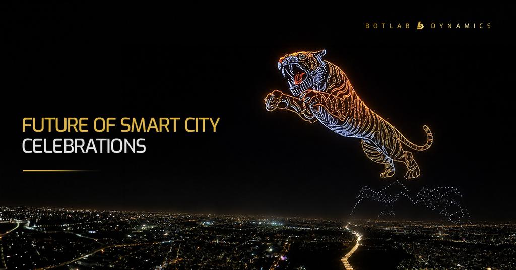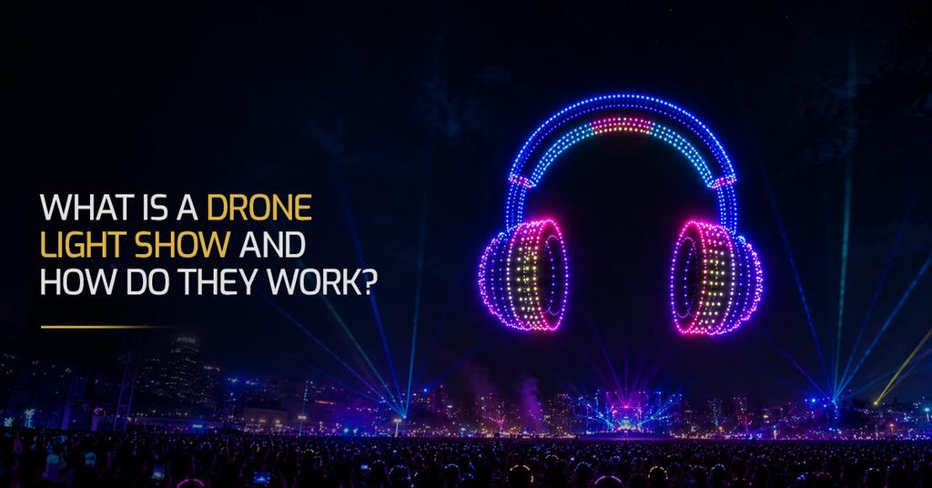
Picture yourself standing in an open field under a sky that's gone completely dark. Somewhere above you, hundreds of drones are about to arrange themselves into a rose, then a galloping horse, then a company logo. No hiccups. No lines breaking apart mid-formation.
It looks like magic. It's actually math, radio waves, and a lot of testing nobody in the audience sees. That's what drone light show technology is built to do.
At BotLab Dynamics, we get the same question after almost every show: "How do you actually do this?" Here's the honest, slightly technical answer.
Why Precision Matters
Most people assume the drones themselves are the hard part, but they're not: the hard part is knowing, at every single moment, exactly where each drone is in space, down to a few centimetres.
Think about the GPS on your phone. It's accurate to somewhere between three and five metres, which is fine when you're trying to find a restaurant, but completely useless when the aircraft flying above you are only a couple of feet apart. A three-metre error in that setting isn't a minor glitch; it's a mid-air collision waiting to happen.
That gap between "good enough for a map app" and "good enough to fly hundreds of drones inches apart" is the entire reason drone show synchronization exists as its own discipline, rather than an add-on feature. It's the foundation everything else is built on.
How RTK Positioning Works
The system that closes that gap is called Real-Time Kinematic positioning, or RTK for short.
And how does it work? Before the show, a small base station is installed at the precisely surveyed point on the ground, whose coordinates are known in advance. This base station receives the very same GPS signal that all the drones receive. As it knows its real coordinates, it compares them with the information provided by the satellite signal and computes the correction.
This correction is then transmitted to every drone in the formation many times a second. Each drone applies it to its GNSS signal and becomes aware of its own position, not within several meters, but within several centimeters. This is RTK GNSS, and it's the key element behind the entire technology. Without RTK GNSS, there would be no formation. It's as simple as that.
And this is the key element of the technology behind the drone show; without RTK, there would be no formation. It is as simple as that.
How Drone Choreography Is Created
By the time the first drone lifts off, the entire show already exists somewhere else first: on a screen, as an animated sequence.
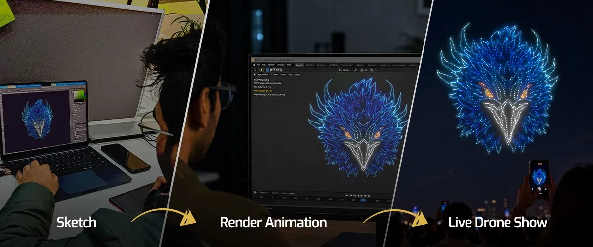
It starts as a sketch. The software powering most of these shows is, in fact, derived from film and video game animation, Blender being a good example. An artist blocks out the shapes and transitions the same way they would for any animated scene, working purely in the visual sense first: what the pattern looks like, how one shape dissolves into the next.
Then comes choreography, and this is where it stops being pure animation. Each "pixel" in this sequence is a physical object. It has weight, a power source, and it needs a safe distance from every drone around it. An artist can't just draw a heart-shaped pattern and transfer it onto the fleet directly. Drones can't cross their own trajectories. They can't be asked to move faster than they're capable of. The final shape still has to read clearly from the ground, even at full altitude. Get any of these wrong, and the consequences aren't cosmetic.
Only after that comes the render, and this is the part the audience never sees. Collision checking, velocity restrictions, spacing requirements, all run over and over in simulation until the choreography is proven safe. That's where the bulk of the real work happens, well before a single drone leaves the ground.
How Hundreds of Drones Fly Together
And here is a surprising fact for everyone: there are no individual pilots controlling these drones manually. There is no command center with dozens of controllers, each with a joystick guiding one drone alone.
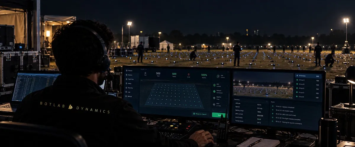
The entire show scenario is uploaded by just one ground control station to the whole flock, and from that very moment, all the drones become independent and just fly along their predetermined route, while watching one common timer.
This is how a drone swarm operates, and the principle behind it lies in redundancy. Each drone has its own flight controller, RTK receiver, and, as a rule, redundant sensor equipment so that, when two sensors provide different readings, it becomes possible to find out which one is mistaken. All the members of the swarm are using one common clock. This is exactly what gives life to such a formation, rather than hundreds of machines performing independently of one another. And when there is a hit on some beat and hundred drones change color simultaneously within a second, this is exactly the result of such a synchronization layer.
Why Pixel-Perfect Displays Matter
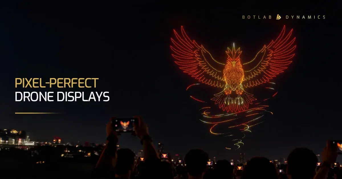
Every single drone in the sky is, functionally, one pixel: it has a position and a colour, and that's the whole of it.
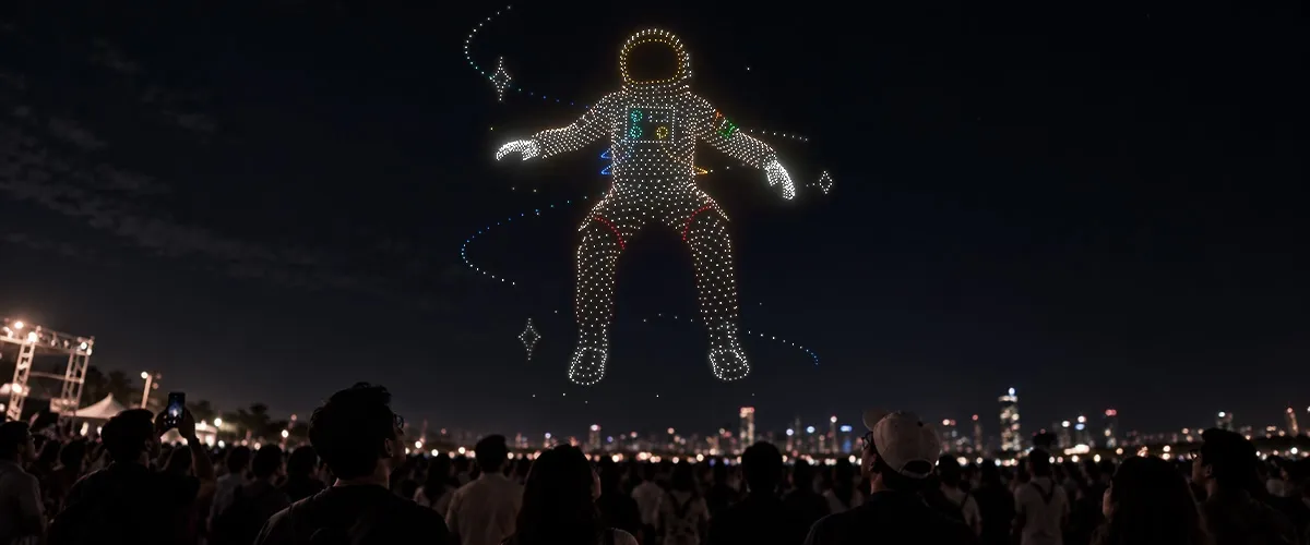
A shape only becomes recognisable, whether it's a face, a logo, or a heart, because hundreds of these individual "pixels" are holding their assigned spot at their assigned millisecond. Let a handful of them drift late, or land a metre off target, and the whole shape blurs at the edges, the same way a low-resolution photo does when you zoom in too far.
This is the real story about perfect-pixel drone formations. It is all about animation, but instead of taking place on a computer screen, it happens in an open space using machines to replace pixels and the physics of the world to replace the renderer.